Jul 18, 2011
I feel like a real weatherman now.  I totally underestimated Invest 98 saying, 'it doesn't really matter." Well obviously like true weatherman fashion I got it all wrong.  Number 98 turned into Tropical Storm Bret basically over night.  The storm is currently located off the NW coast of the Bahamas expected to travel N NE over the next several days. 


Development beyond tropical storm status is not expected.  Upper level atmospheric conditions aren't letting it happen.  Bret is no monster but a storm is a storm so expect a punchy waist plus swell tomorrow.  Local Folly winds for tomorrow morning are looking decent for the arriving swell.  

Now I never condone skipping out on work but hey, it's the 'first' tropical swell.  Call in and say you got the D.  On the other hand my weatherman skills showed their colors in my last post.  Whatever happens I'll be out there in the AM.

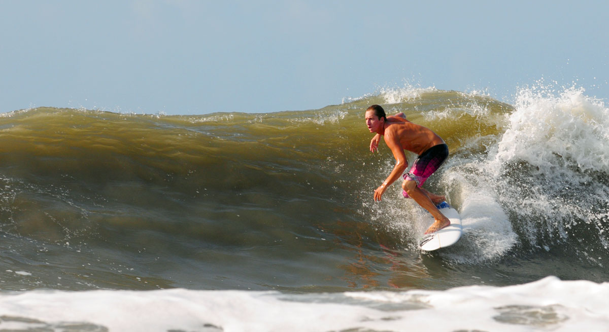
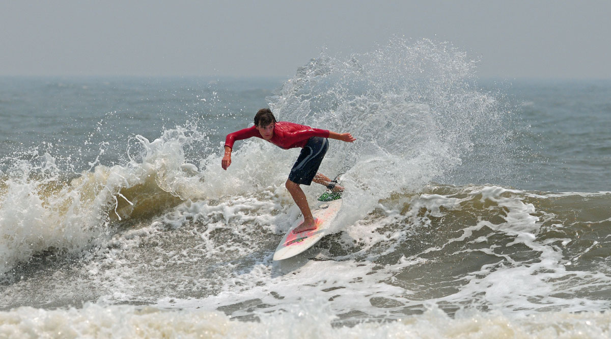
Here are some pictures from this morning!

Remember the high tides and beach erosion last year?  Here we go again.  One good thing is all that extra sand is off the beach now.

Representin' Follyhood!!!!


sources: NHC, Wunderground

All photos shot with my decrepit 70-300 which loves contrasty shots.  Nikon D300s

See you tomorrow 
MikeC

 
Jul 16, 2011

Why is it so windy at the beach you may ask yourself?  It's because of Invest 98.  She's a disorganized mess of tropical air that can't get her act together.  Even if she did get her act together, 98 is just too close to do anything cool, aka give us waves.

The NHC is saying the upper level winds may begin to organize themselves over the next few days but there is only a 20% chance of 98 becoming a Tropical Cyclone. 

At least something is happening.  Look for disorganized windswell all weekend.

MikeC
Jul 9, 2011

Hi Haters

Too bad the waves didn't get their act together yesterday.  The wind never really cooperated, the rain wasn't hard enough to clean it up, and I didn't feel like getting my camera wet (insert hater comment here).  But lets see whats poppin in the tropics.


AKA.....NOTHINGGGGG :(

....for us

Sure there is an added chance for tropical development in the Gulf of Mexico but like I said last week, it does absolutely nothing for us here.

There is a ray of sunshine though...

It's tough to see but if you look all the way on the right hand side of map; located on the African coast you'll see a little green and white lined region.  The green and white region indicates the forecasters are expecting above average rainfall.  This is where many of our major hurricanes are born.  Huge tropical rain storms come barreling out of the rain forests of Africa and grow into the monsters we need to produce real waves.

So above average rainfall in the baby making region for hurricanes is a good sign... I think.

Navigate over to the Thomas Bros Blog if you would like to see a few pics from yesterday.

MikeC
Jul 7, 2011

OMG...Waves


First legit summer swell of the year.  The waves currently in the water are from a storm that developed far far away in the tropical Atlantic region.  I was surprised with not only the size and cleanliness of the waves but also the consistency, which are things we rarely see all working together here.  And can you say crowds?  I never even knew that many people lived here. **These photos are all from mid morning. Justin over at FollyHood took some more photos around noon time. Watch for those.**


All I request from you Facebook posters is this 'check out more at follysurf.blogspot.com'  just a lil credit.

MikeC
Jun 30, 2011

The waves were small this morning but were clean.  I took a few snaps before I decided to jump in myself.  Lot's of people out though.  Maybe everyone is getting ready for the 'swell' coming this weekend.  Let's just all be polite when the waves come and try not to run over all the people from Kentucky who've never seen the ocean before*. 

*I like people from Kentucky, my roommate is from there.


MikeC
Jun 28, 2011

95L is what you are looking at.  She's predicted to meander to the West into Mexico and do absolutely nothing for the East Coast.

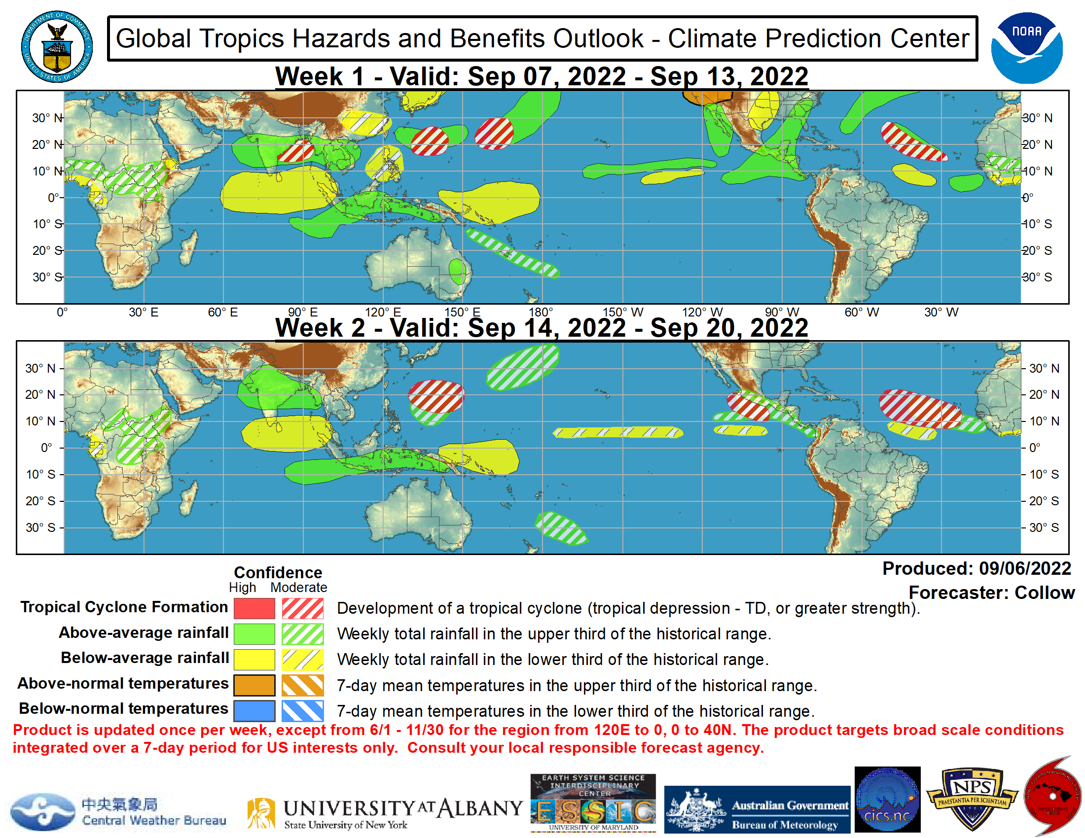
I found something cool in the depths of the National Hurricane Center's website though.  It is a 2 week 'Global Tropical Hazards Assessment' map.  Basically it shows what could possibly happen in the tropics around the globe.  Whether tropical storm development is favorable or it will be exceptionally dry or exceptionally wet in a particular tropical region.

What I will do is post up the map every 2 weeks it comes out and I'll explain it to my best ability.  Here's the map.

If you live along the Gulf you might see a tropical storm develop in the southern part of the Gulf which may or may not produce some fun surf.  I don't really care.

What I am looking at is the above average rainfall in the tropical area of Africa.  I'm no meteorologist but if it starts storming over in the African rainforests those storms only have one place to go; the Atlantic.  All we need is some warm water and and favorable climate conditions and voila, we'll have our for "Cape Verde Tropical Storm."  But I'm getting ahead of myself.  It's still early in the season so we must wait and hope for a storm to develop over the Caribbean.

MikeC
Jun 25, 2011

Smokey Waves


Over the past few days we've been experiencing some smokey conditions from a few forest fires in the area.  This made for some weird shooting conditions but the pictures came out alright. That is all I have to say I'm late for work.

MikeC